Admiring young lambs on cycle in County Donegal

Suggested Cycling Routes


Sliver Strand and Glencolmcille

34 km

Bike to the pristine Silver Strand beach and explore the rich history of Glencolmcille.  Stop by the Glencolmcille Woolen Mills in Malinmore and also at the Glencolmcille Folk Village to see beautiful handcrafted goods and to soak up the local culture and history.  If you’re feeling extra energetic, take a hike to the Martello Tower at Glen Head

Bicycle Leaning on a fence beside the Silver Strand Beach in County Donegal
Map showing a cycling route from Carrick to the Silver Strand Becah

Take the R263 from Carrick towards Glencolmcille
Turn left onto the L1025 (4km)
Turn left onto the R263 (11 km) and continue to the Silver Strand (16 km)
Follow the R263 to Glencolmcille (24 km)
Follow the R263 back to Carrick.


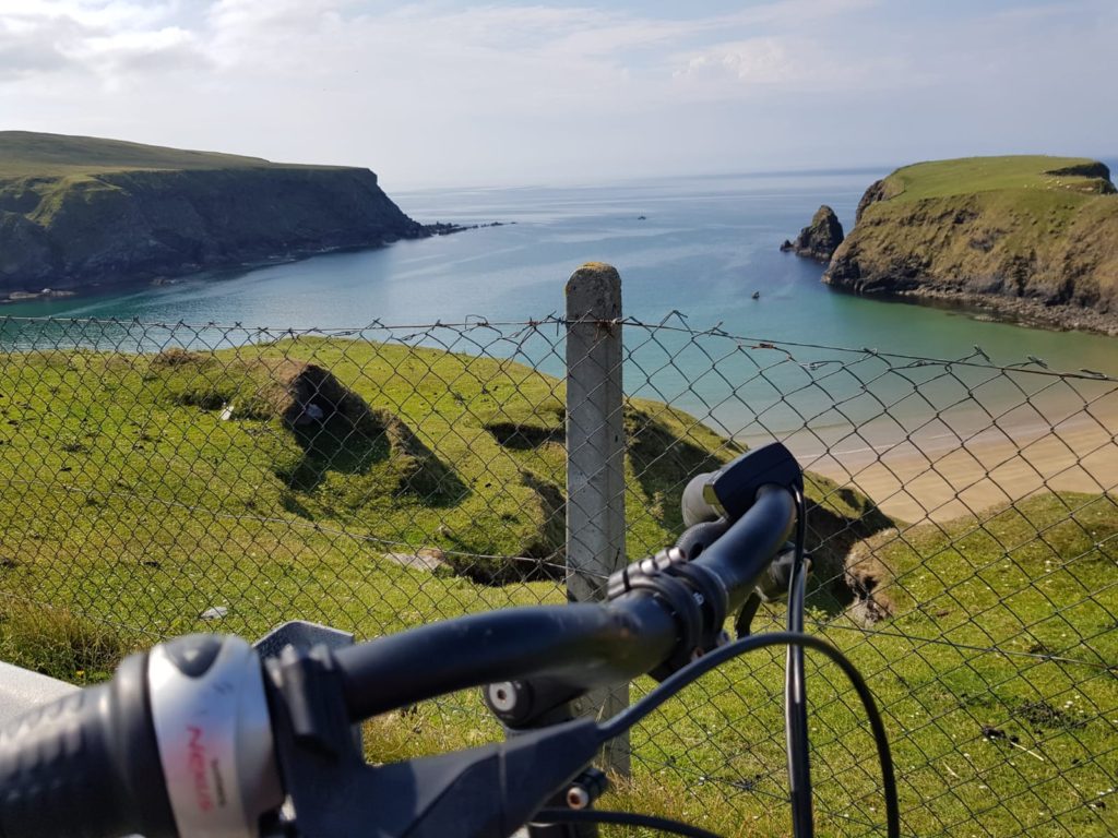
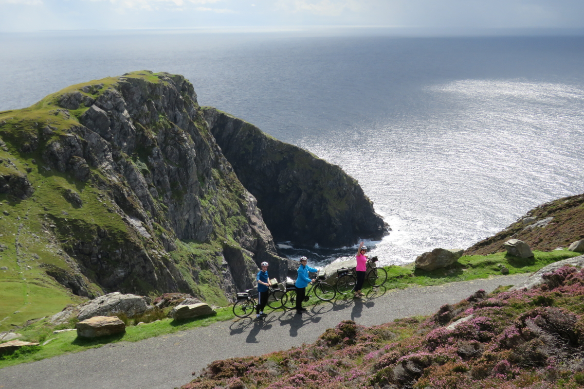
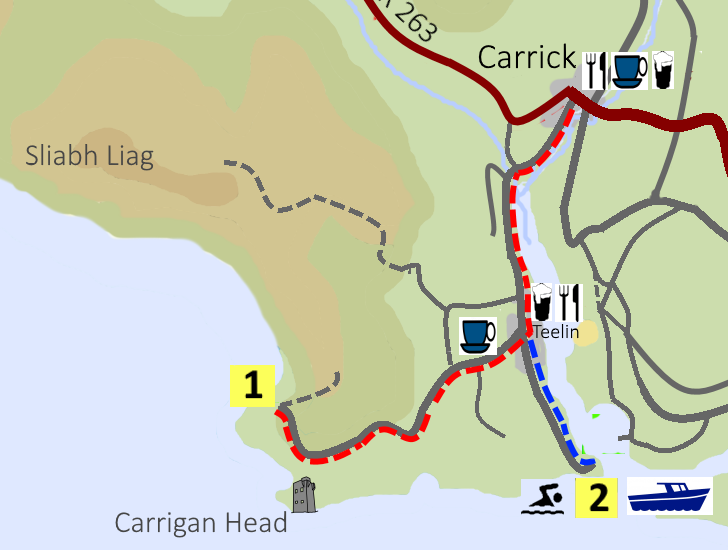
Sliabh Liag Cliffs and Teelin Pier

14-17 km

Cycle to the viewing point to see the breathtaking cliffs at Sliabh Liag (Slieve League) rise 595 metres above the Atlantic ocean.  Experienced walkers can follow the walking trail to the top of the mountain.  Take the boat trip from Teelin Pier to experience the dramatic coastline.

Electric Bikes at Slieve League

Map of the cycling route from Carrick to Teelin Pier and Slieve League Cliffs

Take the road towards Teelin/Sliabh Liag Cliffs
Turn right 100 metres after the Rusty Mackerel Pub (3 km)
Bunglass, viewing point for Sliabh Liag Cliffs (7 km)
Return to Teelin. (11 km) Turn left to return to Carrick or right for Teelin Pier and boat trips.

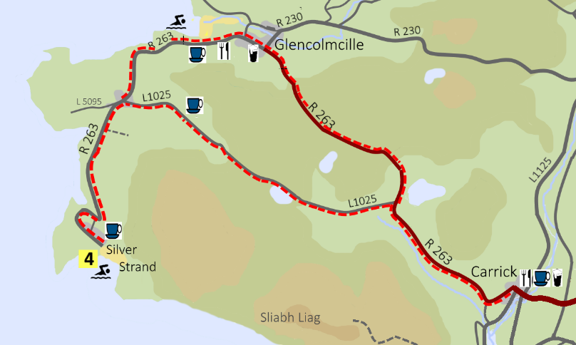
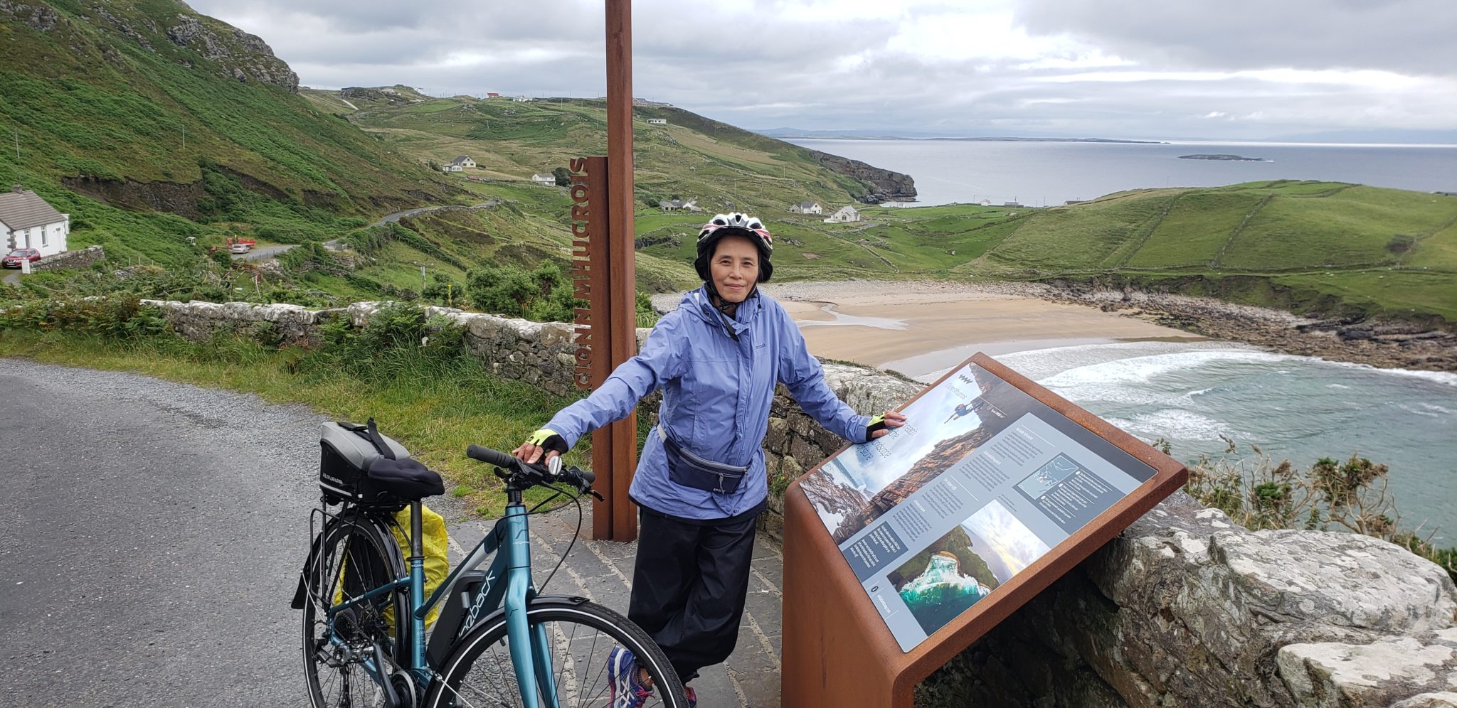
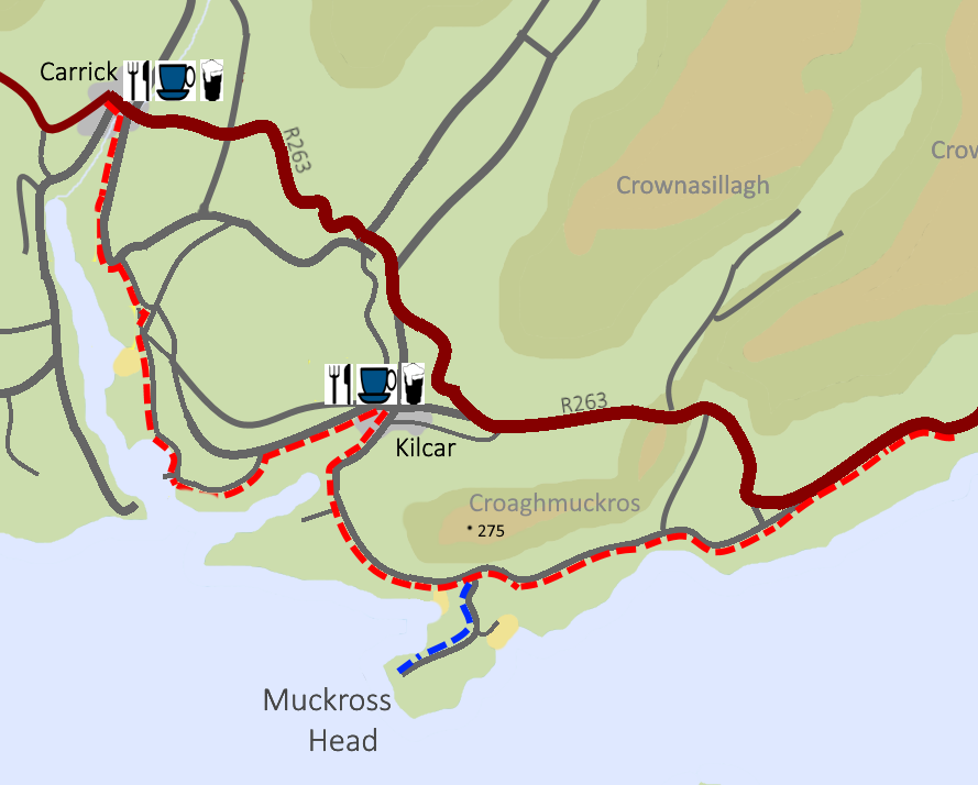
Port a’ Chabhlaigh Beach, Kilcar, Muckross Head and the Secret Waterfall

36 km

Cycle winding back roads and explore the picturesque coastline.  Visit Studio Donegal – a traditional Donegal Tweed Handweaving Studio.  Picnic by the rock pools at the dramatic Muckross Head.

Woman with Bicycle at Muckross Head Viewing Point

Map of cycle route from Carrick to Kilcar, the Secret Waterfall, and Muckross Head

Leave Carrick in the direction of Killybegs. After crossing the Bridge, turn immediately right.
Turn right down the steep hill at the “Coast Road” sign. (2 km)
Turn right at crossroads. (3 km)
Turn right at T-Junction. (5 km)
In Kilcar village:  Turn Right in the Centre of the Village. (7 km)
Turn right for Muckross Head. (10 km)
Muckross Head. Safe beach is to the left. Headland to the right.
After leaving Muckross turn right towards Killybegs or left to return to Carrick
If turning left emerge on R263 and turn Right (16 km) Busy road for 2km. 
Stop at Largy viewing point. (18 km) 
Walk along the road for 200 metres to the lane leading to the secret waterfall. 
Return either by the same route or via the R263. 
Note: The secret waterfall can only be accessed at low tide. There is quite a short window to visit it.

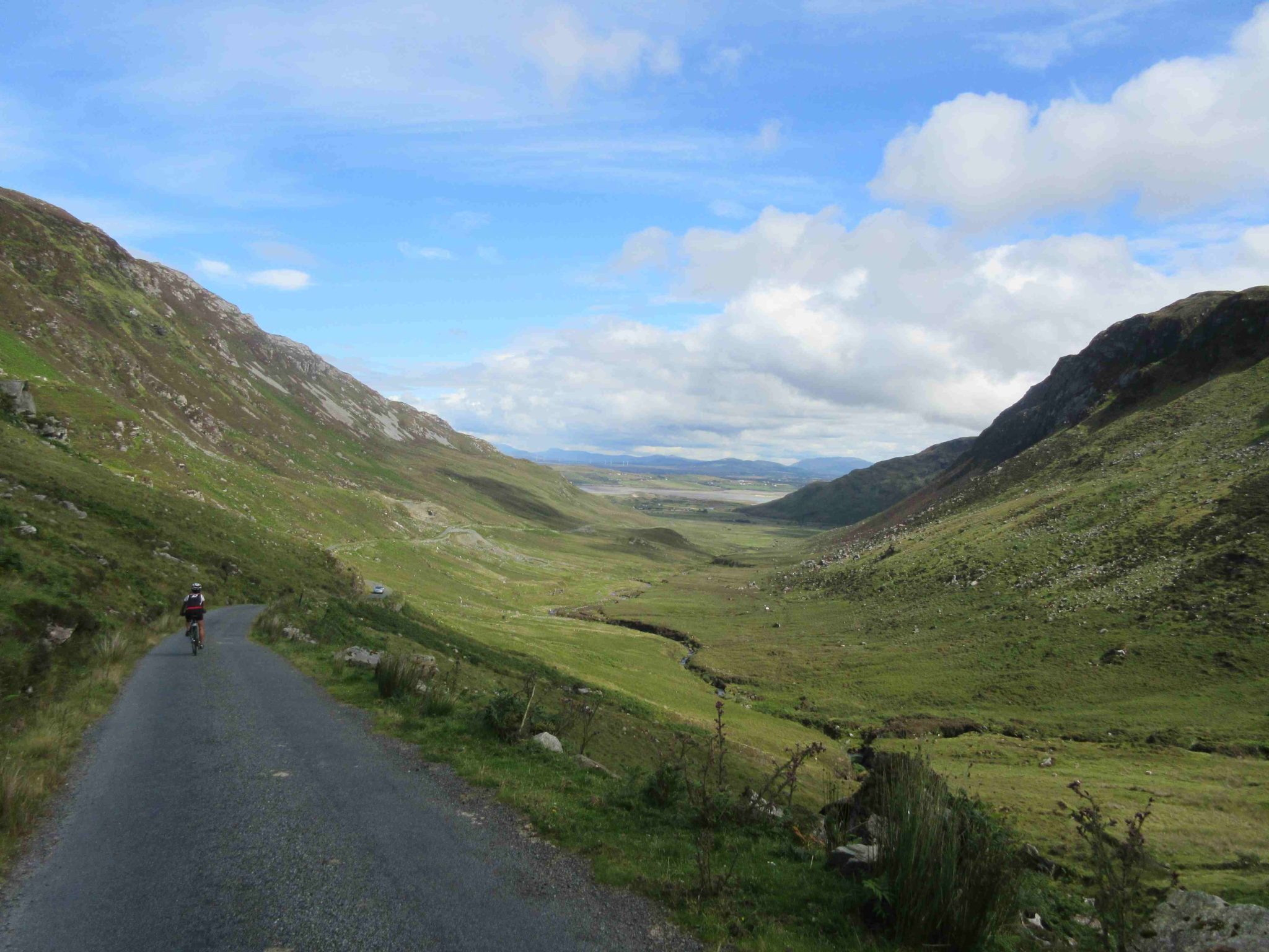
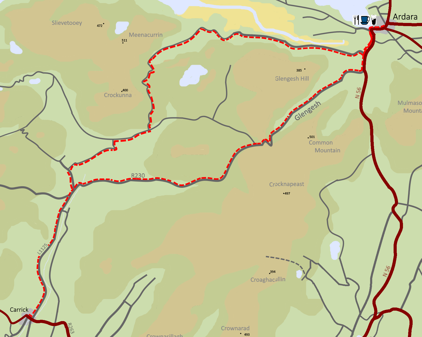
Granny, Ardara and Glengesh

52 km

Cycle the glacial valleys of Glengesh and Granny.  Snap some photographs at Assaranca Waterfall.  Stop for lunch in the pretty village of Ardara.  Visit Donegal Design Makers Studio which is dedicated to showcasing designers and artisan craftspeople from County Donegal.

Biking down Granny Pass in South-West Donegal

Map of a cycle route from Carrick to Ardara, Granny, and Glengesh Passes

From Carrick take the L1125 towards Ardara. Turn left just before the bridge.
Turn left just after the small primary school. At the 80 km/hr signs. (6km)
Turn right. (7km)
T Junction. Turn right. (9 km)
Turn left up the steep hill. (11 km)
Follow this road through Granny Valley, including extremely steep descent 14 – 16 km. Continue past Maghera Beach and Caves (17 km), and Assarancagh Waterfall (18 km).
Emerge on N56. (24 km) Turn left for Ardara. Busy road for 1.5 km.
Ardara (26 km)
Return along N 56. Turn right at the sign for Glengesh Pass. (28 km)
Continue through Glengesh including 2km of very steep climbing and return to Carrick.